
(MSC News)--Winds have increased out of the south to around 20 to 30 mph late this morning which will persist through the afternoon with gusts to 45 mph.
Relative humidity values will drop to 25 to 35 percent.
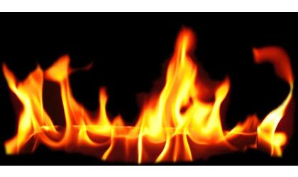
The combination of the strong, gusty winds, dry fuels, and the very dry surface conditions will lead to a very high fire danger across the area.
All outdoor burning should be avoided until later this evening as conditions will favor rapid spread of fire.
Burn bans are currently in place for Atchison and Doniphan Counties.
The bans will remain effective until further notice.
...WIND ADVISORY IN EFFECT FROM 10 AM THIS MORNING TO 7 PM CDT
THIS EVENING...
The National Weather Service in Kansas City/Pleasant Hill has
issued a Wind Advisory, which is in effect from 10 AM this
morning to 7 PM CDT this evening.
* TIMING...Late morning through the early evening.
* WINDS...Southerly winds from 25 to 30 mph gusting to 40 to 45
mph.
* IMPACTS...Travel will be difficult for high-profile vehicles,
and loose and/or light weight objects may be blown around. In
addition, dropping afternoon humidity levels and dry fuels may
cause any grass fires that ignite to rapidly get out of
control. Burning is highly discouraged.
PRECAUTIONARY/PREPAREDNESS ACTIONS...
A Wind Advisory means that winds of at least 30 mph are expected
with gusts to 45 mph. Winds this strong can make driving
difficult, especially for high profile vehicles. Use extra
caution.
